Scott Marchant worked in partnership with Visit Idaho to create this Travel Tip.
With the second largest lake in Northern Idaho—the 25-mile-long Lake Coeur d’Alene— at its doorstep, the city of Coeur d’Alene offers plenty to do, including boating, kayaking, swimming, fishing and many other water activities. But Coeur d’Alene is also a wonderful jumping-off point to explore the nearby forested mountains.
Here are four trails that will give you a diverse perspective of this beautiful area. Coeur d’Alene sits at an elevation of 2,200 feet, so many of the trails are open by mid-April and are snow free through October. The four hikes run the gamut from an easy lakeside saunter to moderately strenuous treks through dense woods and along cascading creeks.
Wildflower blooms begin in April and continue through early summer. Look for autumn colors in September. The hikes are described from closest in proximity to Coeur d’Alene to the furthest. An additional note: Mountain bikes are prohibited on all of the trails described.
Tubbs Hill Loop
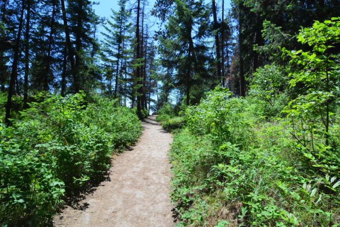
The forested 2,530-foot Tubbs Hill is located near downtown Coeur d’Alene and offers beautiful hiking without much of a drive. In fact, if you are staying in the heart of the city, you can walk to one of the two main trailheads. About three-quarters of Tubbs Hill extends into Lake Coeur d’Alene and a plethora of trails crisscross the 120-acre area.
Possibly the best hike is to circumnavigate Tubbs Hill in a clockwise direction along a 2.3-mile loop offering exceptional vistas over Lake Coeur d’Alene. There are many alluring outcrops near the lake’s perimeter, providing opportunities for swimming, sunning or a lakeside picnic. Wildflowers such as trillium, glacier lilies and arrowleaf balsamroot adorn the trail in late April and May.
Loop distance is 2.3 miles with 250 feet of gain.

GETTING THERE: There are two main trailheads for Tubbs Hill and it is recommended to start the hike from the Eastside Park trailhead instead of the congested McEuen trailhead. Near Coeur d’Alene’s city center on Sherman Avenue, turn south on 11th Avenue towards Lake Coeur d’Alene and drive 0.7 mile. Turn right on East Mountain Avenue and at 0.3 mile, make a sharp left onto South 10th Street and an immediate right into the Eastside parking area. Start the hike from the north side of the park near the information board and restroom.
Mineral Ridge Loop
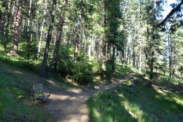
This steep hike climbs along the wooded south face of Mineral Ridge to the Bluebird viewpoint above Wolf Lodge Bay. Exceptional vistas extend over Lake Coeur d’Alene and to the rolling mountains to the north. The dense forest provides plenty of shade and there are occasional trailside benches to digest the beauty. There is no water, so make sure to bring plenty.
From the trailhead, the route climbs to a junction at 0.2 mile. This will be your return trail on your way back. Continue from the junction through four switchbacks over the next half-mile to a signed junction at 0.8 mile. A short spur trail leads to an abandoned mine. Continue on the main trail and make a final gain of 200 feet to the top of Mineral Ridge and a junction at 1.2 miles. Turn right and veer left at the next junction. The trail gains 150 feet in less than a quarter mile to the signed Bluebird viewpoint. The views are exceptional. Continue from here up the Lost Man Trail, which ascends nearly 300 feet in 0.4 mile to a jeep road.
To return to the trailhead and complete the loop, descend back to the junction at 1.2 miles. Continue hiking west along the ridge, passing the Caribou Cabin—an excellent destination for a picnic. Over the next half-mile, the trail wanders along the ridge top and at 3.4 miles (from the trailhead), reaches a bench and the Silver Tip viewpoint. The views are exceptional looking over Beauty Bay. From here, descend through 12 switchbacks over the next half-mile and arrive at the signed junction near the trailhead.
Out-and-back distance is 4.1 miles with 1,050 feet of gain.
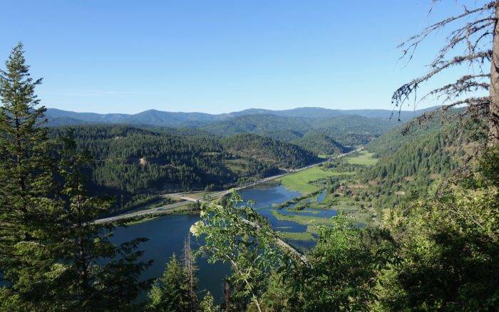
Far-reaching views from Bluebird viewpoint. Photo credit: Scott Marchant.
GETTING THERE: From I-90 near Coeur d’Alene (Exit 11), drive east about 11 miles to Exit 22 for US 97. Turn right and drive 2.1 miles to the signed Mineral Ridge Trailhead on the left.
Indian Cliffs Trail
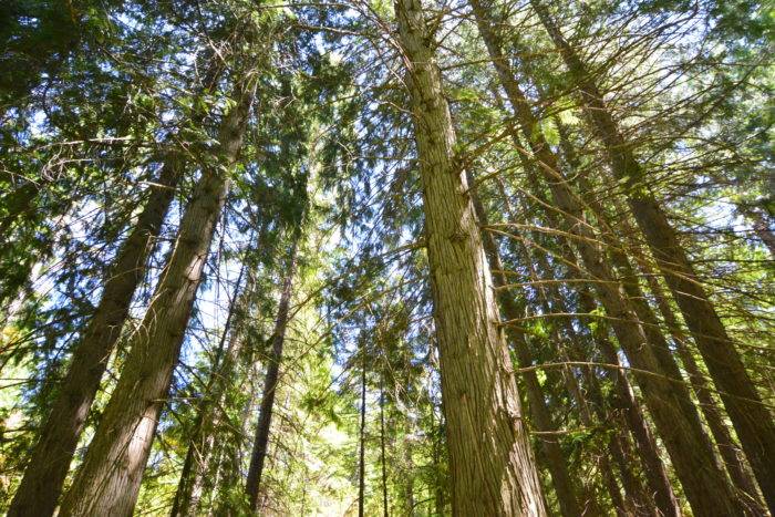
Heyburn State Park—the oldest state park in the Pacific Northwest—near Plummer is located along the southern tip of Lake Coeur d’Alene and has many wonderful hiking trails. Arguably, the best hike is the scenic Indian Cliffs Loop which leads through old-growth cedar groves and open meadows dotted with Ponderosa pine. The midpoint of the loop showcases sweeping vistas across Lake Chatcolet to the mouth of the St. Joe River.
Look for arrowleaf balsamroot in May and many other wildflowers in late spring and early summer. The hike can be extended another mile by adding the CCC Nature Trail, an inner loop that saunters along rock slides with white lichen and bright green moss. It is recommended to hike the Indian Cliffs Trail clockwise for the best views.
Out-and-back distance is 2.9 miles with 550 feet of gain.

GETTING THERE: From Coeur d’Alene, drive south on US 95 for 31 miles to Plummer and turn left on State Route 5. Follow SR 5 for 6.2 miles and turn left into the main entrance of Heyburn State Park. Make an immediate left turn at the visitor center onto Chatcolet Road and drive 1.1 miles to the Indian Cliffs trailhead on the left.
Pulaski Tunnel Trail
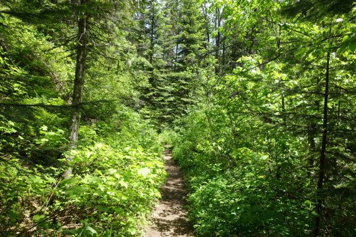
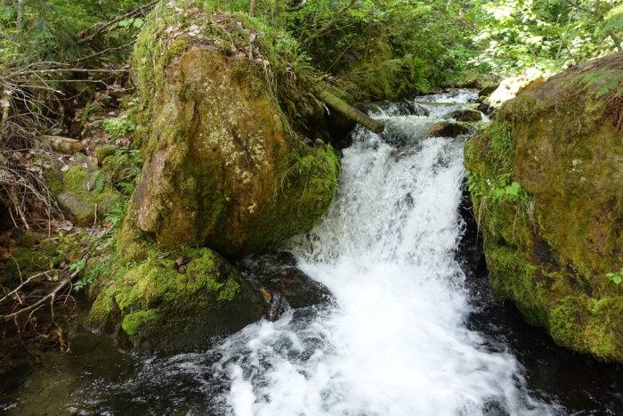
This gorgeous trail up the West Fork of Placer Creek has it all: a cascading creek lined with thimbleberry, ferns and summer wildflowers, dense and scenic woods and lots of history with a visit to the Nicholson Mine (Pulaski Tunnel). Ed Pulaski was a ranger during the devastating fires of 1910. In August of that year, he and 45 firefighters were nearly engulfed in the massive fire as it burned near Wallace. Pulaski saved his crew by hiking down the West Fork of Placer Creek drainage, where his crew found refuge in the Nicholson Mine.
There are many informative interpretive signs along the trail, so plan on extra time to complete the hike. Bridges span all of the creek fords and the first 700 feet of the trail is wheelchair accessible. Although the distance to the trailhead from Coeur d’Alene is 50 miles, most of the drive is along the scenic I-90 corridor and you don’t want to miss the chance to hike this trail. As an added bonus, the historic town of Wallace is a charming community to explore after your trek. Most of the elevation gain (nearly 500 feet) occurs along the second mile of the route.
Out-and-back distance is 4.0 miles, with a total elevation gain of 800 feet.
GETTING THERE: From I-90 near Coeur d’Alene (Exit 11), drive east about 50 miles to Exit 61 for Wallace. Turn right on North Frontage Road and make an immediate left on Front Street. Continue just 0.1 mile, passing the Wallace Inn, and turn right on 2nd Street. Continue less than a half-mile and turn right on Bank Street. Follow Bank Street (it turns into King Street) for 1.0 mile to the signed trailhead on the left.
Scott Marchant is a Boise-based guidebook author and landscape photographer. He currently has multiple hiking guidebooks in print, including —Best Easy Hikes Greater Boise. Scott also produces an annual Idaho calendar, Idaho puzzles and other products. Visit hikingidaho.com for more information.
Published on July 2, 2020
